Open source and Common Ground
Atlas is open source, has Common Ground Gold status and fully aligns with VNG architecture principles.
One user-friendly geoportal for employees, residents and businesses
Request a demoMunicipal geo information is often spread across different applications, registrations and map solutions.
Atlas brings this information together in one central geoportal.
This makes municipal information accessible to employees, residents and businesses.
Atlas is open source, has Common Ground Gold status and fully aligns with VNG architecture principles.
Atlas unlocks data from existing registrations and data sources, so information does not need to be managed twice.
The map viewer is easy to use, accessible and works on every device.
Use Atlas as a central geoportal for employees and as an information service for residents and businesses.
New functionality comes from the needs and experiences of participating municipalities.
We take care of implementation, hosting, management and support, so municipalities are fully supported.

“Colleagues now work with the same up-to-date information. This creates overview, better collaboration and time savings.”

“We really needed a flexible, modern GEO viewer, and Atlas fits that perfectly.”

“Delta10 is a stable partner with a lot of knowledge and expertise. They are very approachable and always respond quickly. I would recommend Delta10 to all my municipal colleagues who want to work with open source applications.”
Atlas helps municipalities make geo information available according to Common Ground principles.
Find the information you need faster and work with up-to-date data from different sources.
Make municipal information accessible through user-friendly and interactive maps.
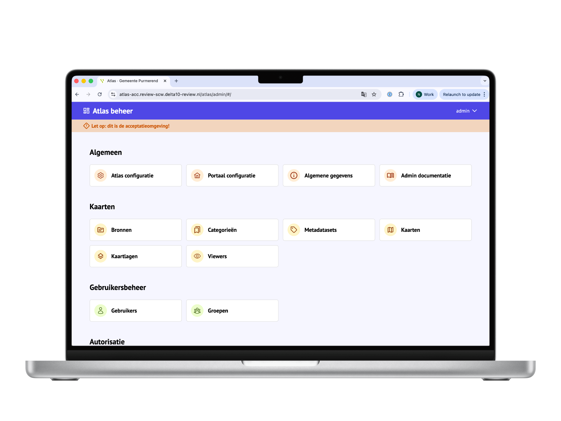
Work from one central solution for managing, unlocking and publishing geo information.
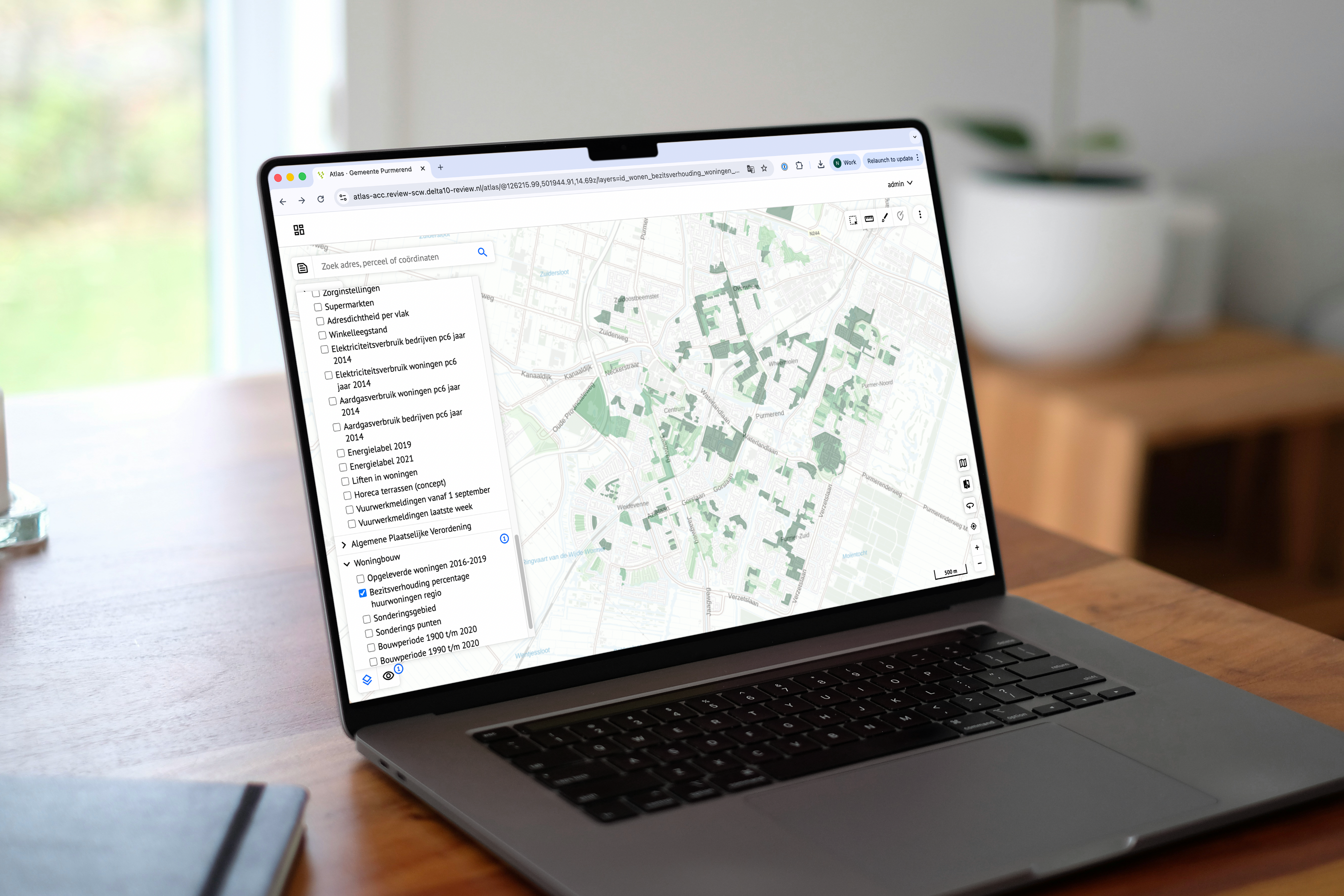
Atlas gives municipalities powerful ways to unlock, manage and share geo information from one central map environment.
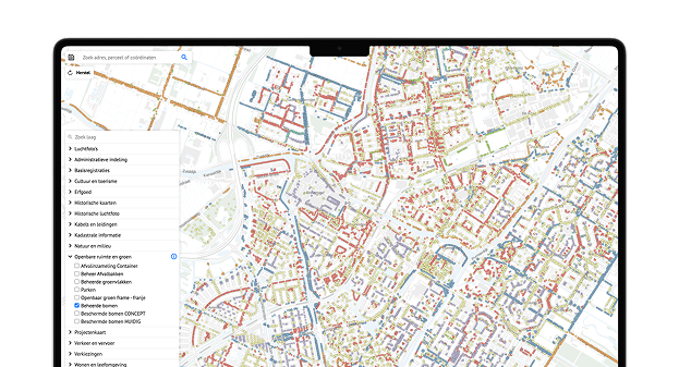
Find maps and data sources easily from one central environment.
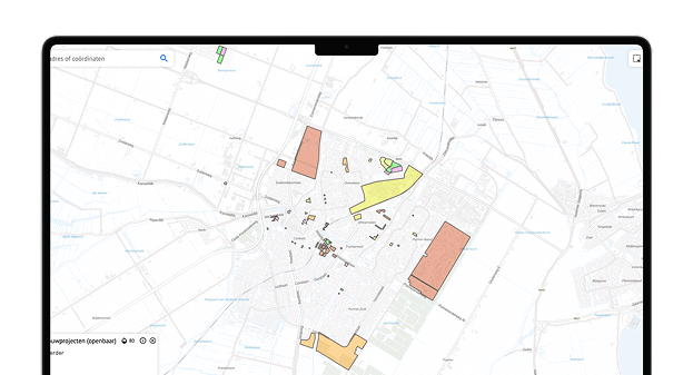
The municipality of Purmerend uses Atlas to show a map of new construction projects. A (future) resident can see which projects the municipality is working on. For an employee it is useful to view current and future projects at a glance.
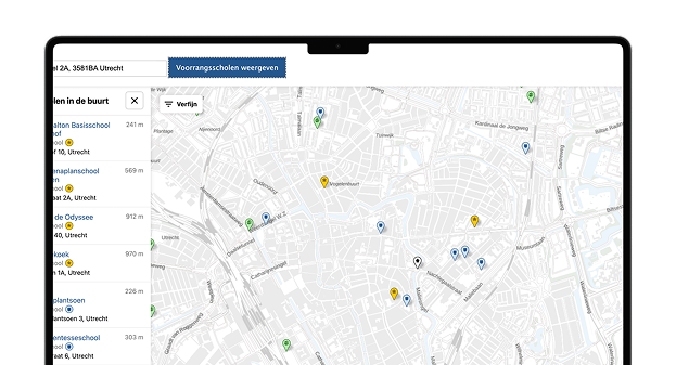
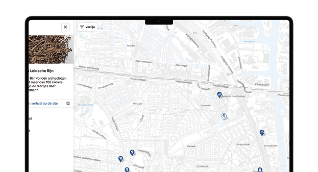
The municipality of Utrecht uses Atlas to show parents and carers which primary schools children receive priority when registering. After entering an address, Atlas automatically displays the four nearest priority schools.
View the demo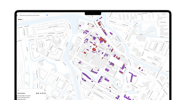
Make heritage visible on an interactive map, so residents and employees can easily consult historical information.
Unlock archive information geographically and make it easier to connect documents, locations and historical context.
Residents can choose a tree on an interactive map and adopt it immediately via an external adoption form.
Atlas supports municipalities in answering geographical questions, publishing information for residents and collaborating around projects and areas.
Find, combine and analyse geo information from different sources. This helps employees answer practical questions faster.
Publish interactive maps on the municipal website and give residents insight into heritage, housing projects, schools and other developments.
Record findings, place annotations on the map and share information with colleagues and partners. Everyone works from the same information and context.
You can:
This way, as a municipality, you maintain control over the information that is disclosed.


Discover how Purmerend started developing Atlas and uses the solution internally and externally
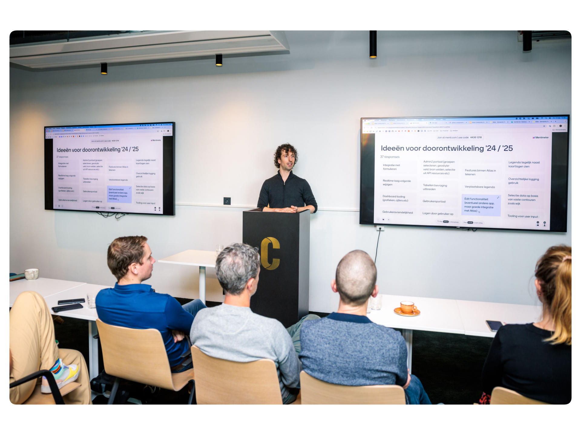
Atlas is developed together with municipalities. Through the Atlas Community, participating organisations have direct influence on new functionality and improvements to the platform. Requests and improvements are discussed together and included in the roadmap.
Every two weeks, municipalities meet digitally to exchange experiences and develop new ideas. This keeps Atlas aligned with the practice of municipal service delivery.
Atlas has Gold status within the Common Ground portfolio and is fully aligned with the Common Ground principles of the VNG.
Implementation and support
Municipalities that choose Atlas are fully supported. Delta10 takes care of the implementation and provides hosting, management and support. We meet the same high standards for quality and information security as municipalities themselves. Delta10 is certified for ISO 9001 and ISO 27001.
Atlas makes municipal information accessible through maps. Residents and businesses can find information faster and employees need to answer fewer questions manually. Employees also have access to up-to-date information from one central environment.
Do you want more information or do you have questions? Please contact us.
